Use cases · Emergency management
Which homes do we reach first when the storm comes ashore?
A flood map shows where the water goes and nothing about the homes it reaches; the heating fuel sits on the assessor’s card, the year the ground floor was built sits in the permit file, and the septic system sits in a drawer at the Board of Health. ArtifexAI connects the surge line to all three under each lot and puts the homes in the order a crew should reach them, with the record behind each one and the reason beside it.
A storm comes ashore; each white house is one to reach first.
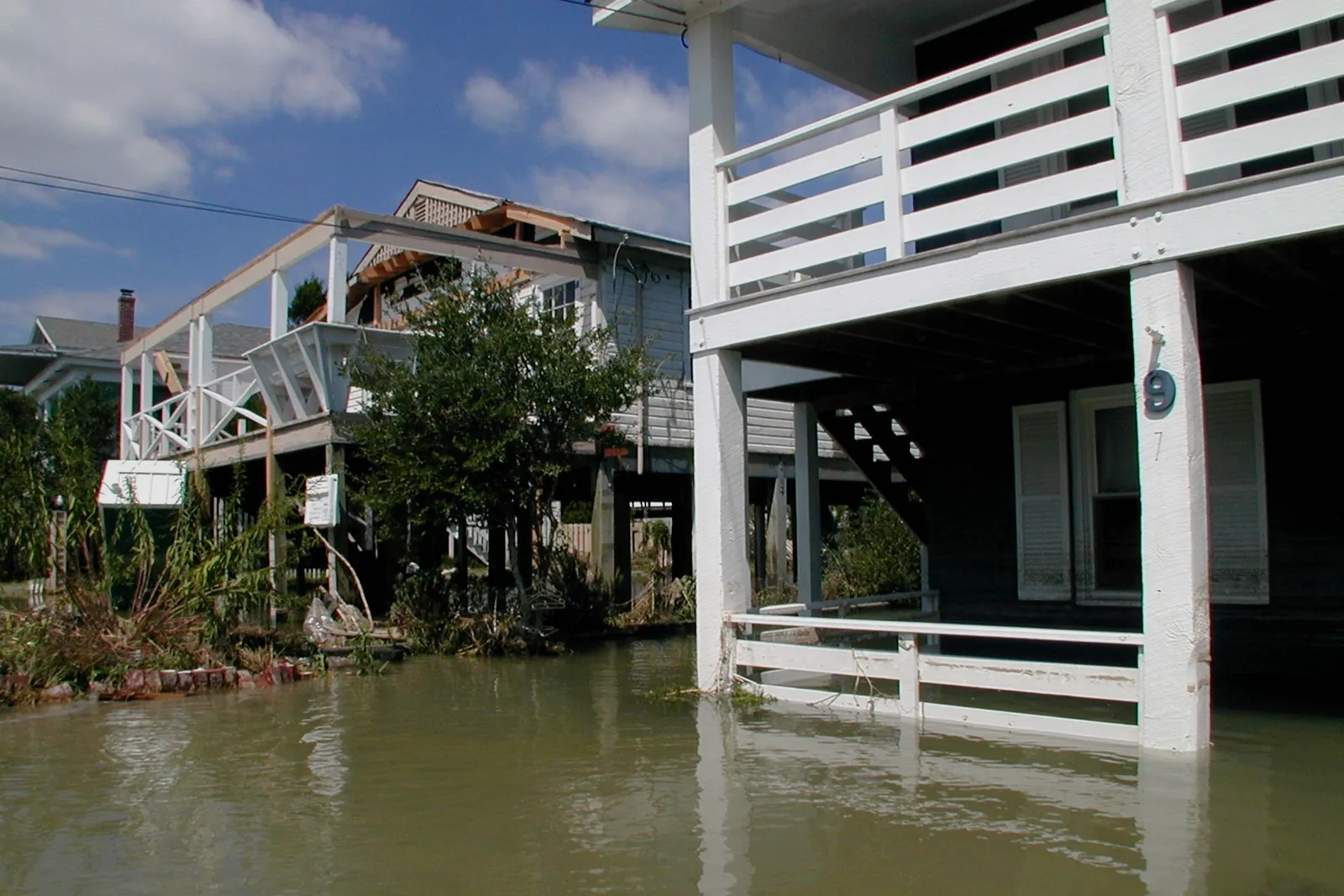
Homes standing in the water after Hurricane Floyd, 1999 · photograph by Dave Gatley, FEMA, public domain
To carry upstairs
One sentence for the manager, three for the chief and the Select Board
Neptune Flood Research Group, December 2025; FEMA’s flood maps are out of date for 84% of the country · NFIP Dwelling Form, exclusions V.D.5 and V.D.6; seepage and sewer backup excluded unless an area flood caused them · 2025 Massachusetts Climate Report Card; one town in five holds an MVP 2.0 plan
In one town
The 100-year zone, home by home, in a storm run on one town’s records
In a storm run on one coastal Massachusetts town’s records, ArtifexAI laid the federal 100-year flood zone over the assessor’s cards and permit files and found 18 homes inside it, with $42.2 million in assessed value between them and the record behind each one. No storm has tested the run, and the list says only what the records held on the day it was made.
Eighteen homes lit inside the 100-year zone, from a storm run on one town’s records rather than from a storm.
Open the nearest case, a question answered from the same records a storm run would use.
No storm has tested the run above, and no case study yet shows one; the nearest case is a rentals question, answered in one town from the same cards and permits a storm run draws on, and checked every day since.